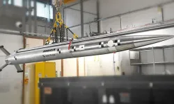
Turkish defence technology company CTech announced that its satellite communication systems are enabling the operational deployment of UAVs recently exported to an Asian country located on the equator, overcoming the unique technical challenges of equatorial GEO-satellite connectivity.
Satellite communications are essential for long-range UAV missions, ensuring secure transmission of voice, video, imagery and command data beyond line-of-sight. GEO satellites orbit at roughly 36,000 km directly above the equator, forcing ground and airborne terminals in equatorial regions to point at extremely high elevation angles — in some cases almost directly overhead.
This geometry can cause the “keyhole effect,” a phenomenon where limited antenna axis capability leads to signal degradation or unstable satellite tracking.
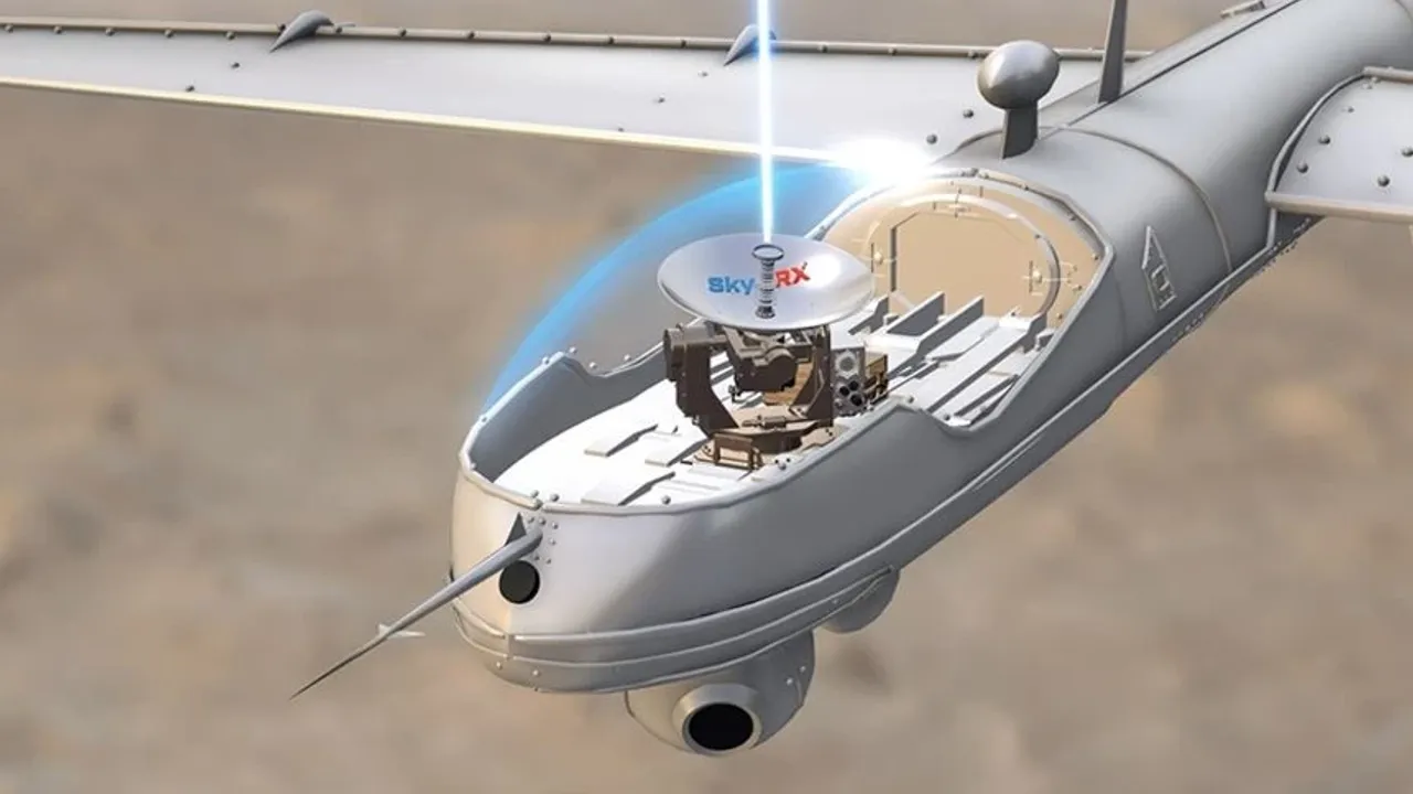
To mitigate this, CTech developed its SkyARX Ku 20 Qx terminal with a four-axis stabilised antenna system — azimuth, elevation, polarization and cross-elevation — maintaining precise satellite pointing even when the spacecraft appears near the zenith.
CTech CEO Dr. Cüneyd Fırat said the system was engineered specifically for these demanding conditions.
“Because GEO satellites sit on the equator, antennas in equatorial regions must operate at very steep angles. This creates the keyhole effect, which can disrupt satellite links,” Fırat said. “Our SkyARX Ku 20 Qx system delivers stable tracking even when the satellite is almost directly overhead. Thanks to this technology, we can confidently say we are ‘pushing horizons even at the equator’.”
Fırat added that the system reshapes communication reliability in harsh environments.
“Even when the satellite is nearly at the zenith, SkyARX Ku 20 Qx ensures uninterrupted, secure connectivity,” he said. “With advanced four-axis stabilization, it supports high-resolution video, resilient data links and mission continuity for both military and civilian UAV operations.”